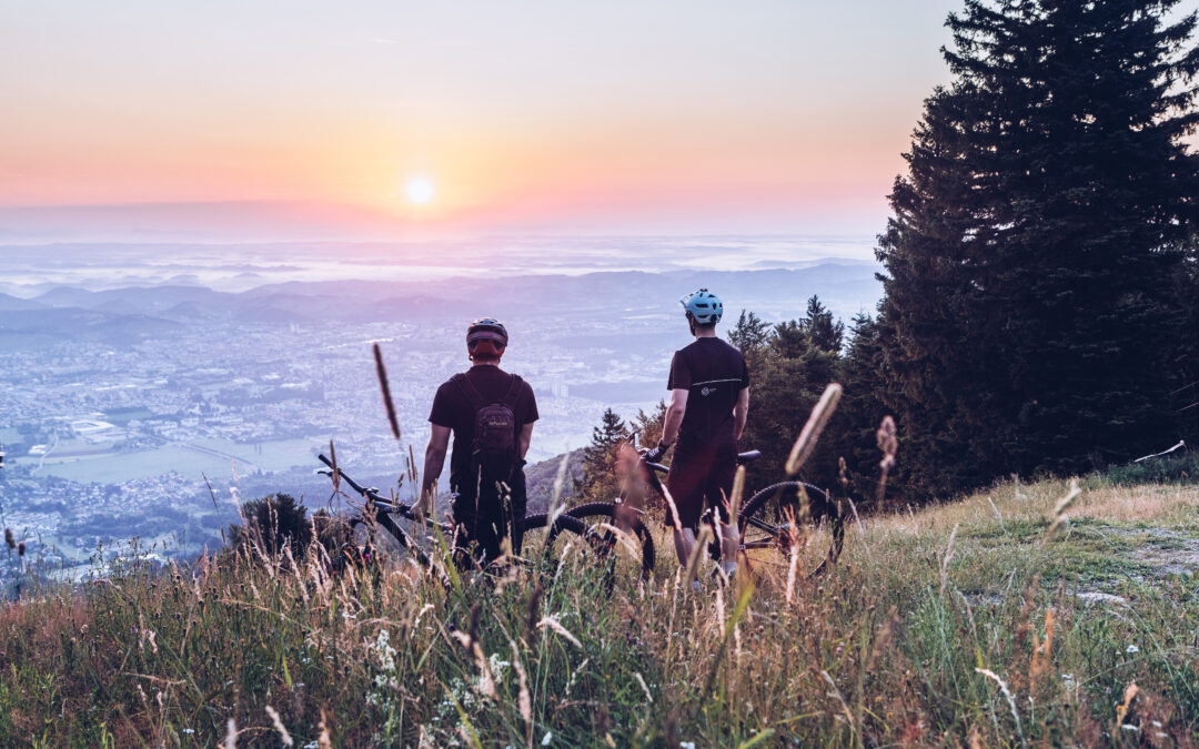
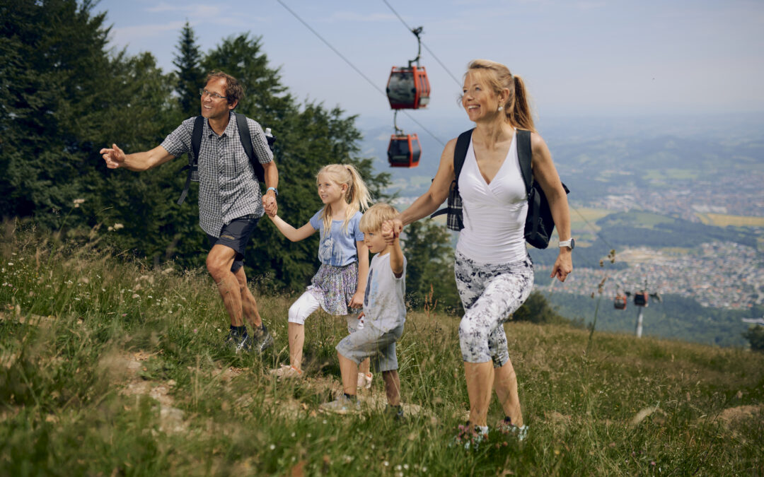
Hiking trail to the Lake Črno jezero
If you go from Bolfenk to the Trije kralji, you can walk there (CIRCULAR) ROUTE TO Lake Črno jezero: Trije kralji – Lake Črno jezero (-> 40 min / 2.7 km) and continue – to Osankarica (-> 20 min / 0.3 km), visit the Bojišče Pohorskega bataljona / Battlefield of the Pohorje Battalion (-> 30 min / 1.5 km), then return to Osankarica and the Trije kralji will be only 4 km away. After a wonderful trip, we are expecting you again in Pohorje village Wellness & SPA Resort.

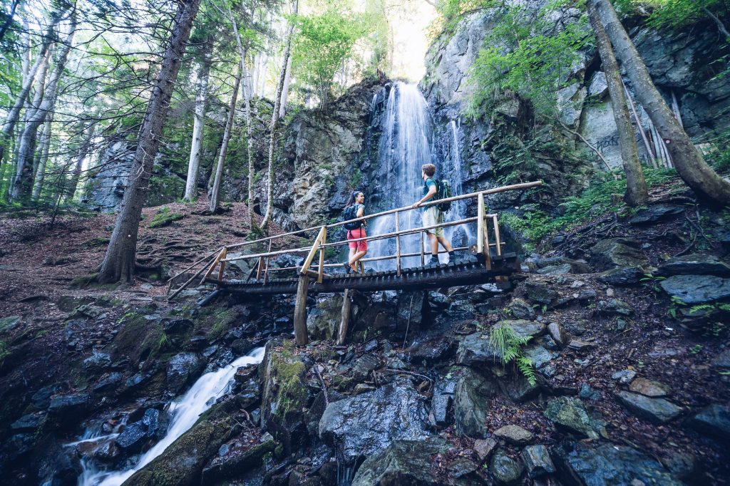
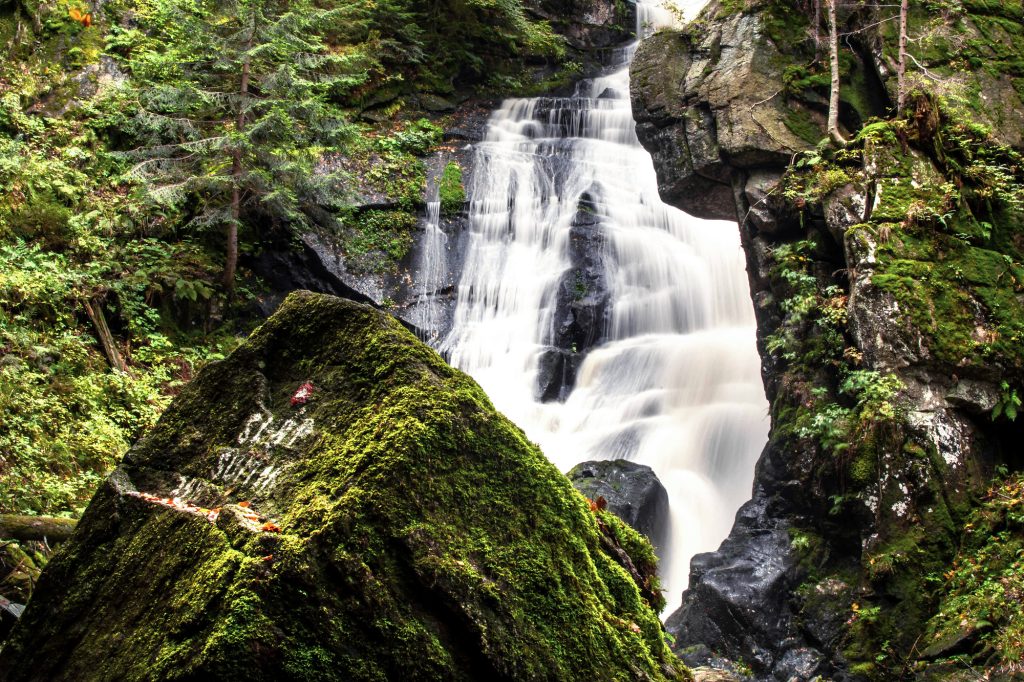
Hiking trail BOLFENK – Skalce / Fram Waterfall
Fram waterfall is one of the largest on Pohorje, 16 meters high
Accessible by car from the Bolfenk: You can reach the waterfall Slap Skalca in few minutes along the marked path from the upper station of the Maribor cable car or Bolfenk to the crossroads where the road Hoče-Areh – Bellevue / Bolfenk splits.
From Bolfenk you can reach the Skalca waterfall in 50 minutes. First, ascend slightly to Anžejev križ – crossroads (1084 m), then descend to Dom Miloš Zidanšek (crossroads) and from here continue to Mariborska koča (crossroads). From the lower side of the hut to Framski slap / Slapa Skalca you are then only 10 minutes away.
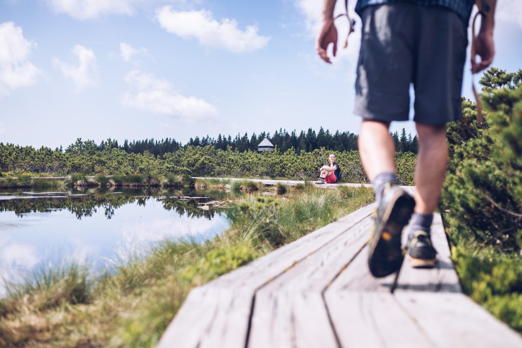
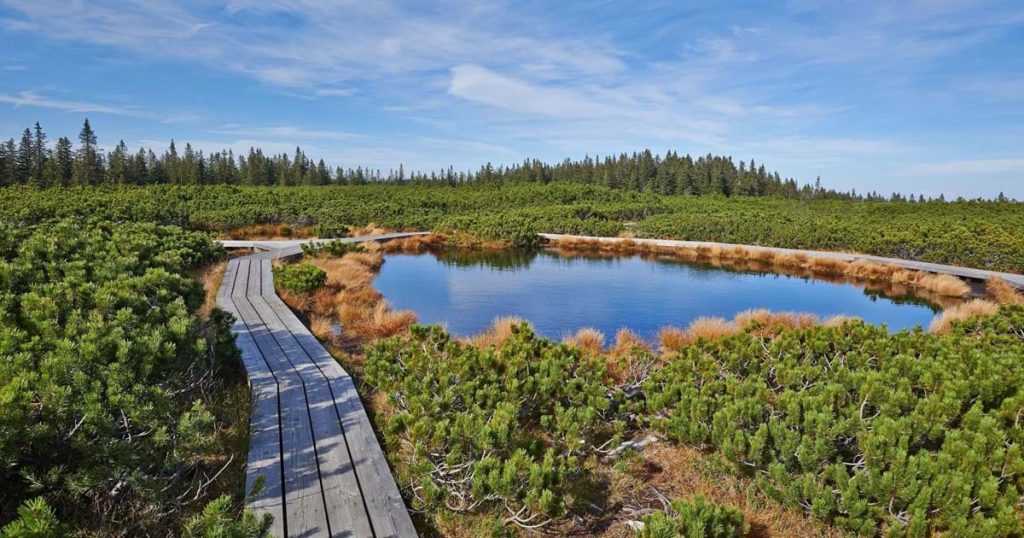
Hiking from Bolfenk – lakes Lovrenška jezera
Lakes Lovrenška jezera is one of the most attractive natural sights of Pohorje. You can visit this popular hiking and excursion spot in all seasons as they are magical no matter the weather.
Access to Lovrenško barje from Bolfenk is possible by ascending to Razglednik and further along an easy hiking trail to Areh, via Žigartov vrh, Bajgotov vrh, Šumikov vrh, Matevž, Radovna, Trije žeblji, Kladje, Brvni vrh, Zgornje brvi to Koča na Pesku. From here, just across the Sedlo to the lakes Lovrenška jezera, where you can walk for two hours on the velvety soft grasslands and moss of peat bogs, see peat lakes, habitats of rare plants and try the school of orientation in nature and enjoy the magnificent views.
Hiking trail Bolfenk – Ribniška koča / Lake Ribniško jezero
Lake Ribniško jezero near Hudi kot is located near Ribniška koča and Ribniški (Jezerski) vrh (NV 1536 m) and is one of the most attractive natural sights of Pohorje. The hut is also a point on the Slovenian mountain trail, and in summer you can reach it by car along the 9 km long local road from Ribnica na Pohorju. Access to Lake Ribniško jezero from Bolfenk is possible by ascending to Razglednik and further along an easy hiking trail to Areh, via Žigartov vrh, Bajgotov vrh, Šumikov vrh, Matevž, Radovna, Trije žeblji, Kladje, Brvni vrh, Zgornja brv to Koča na Pesku. From here, only via Sedlo to lake Lovrenška jezera, where via Planinka and Šrklatica we reach Jezerski vrh and Ribniška koča na Pohorju, which are near Ribniško jezero.
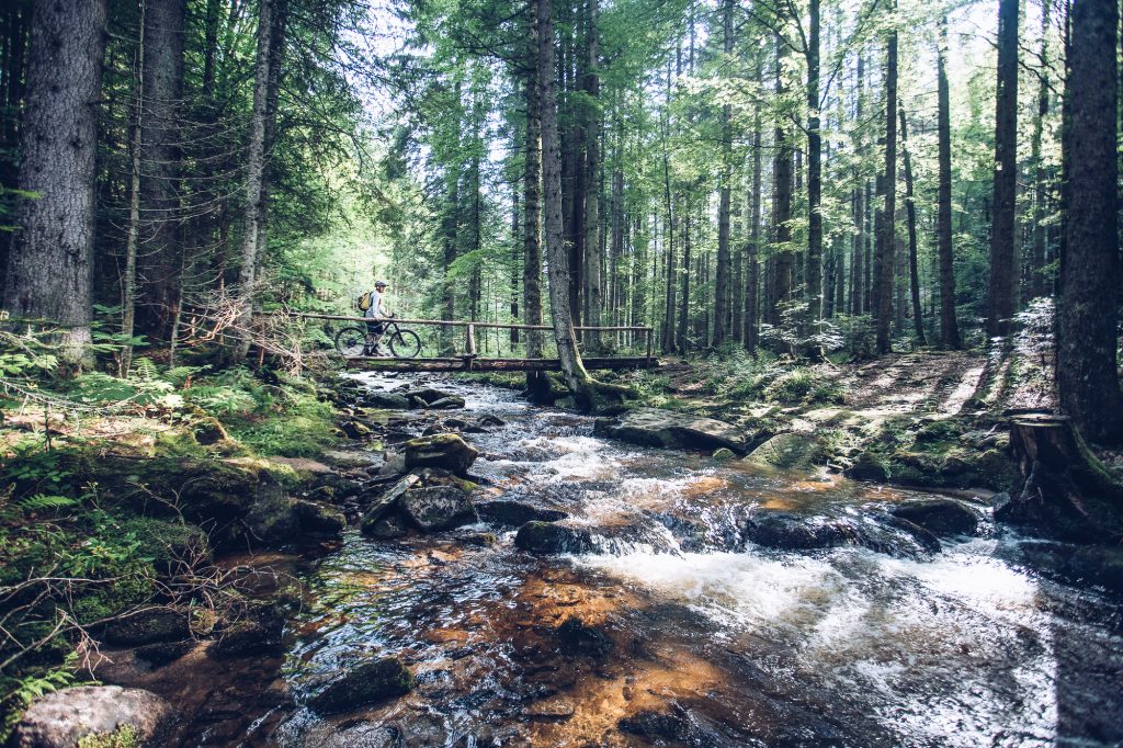
Hiking trail to unspoiled Primeval Forest with Veliki Šumik and Mali Šumik Waterfalls
From Bolfenk, head in the direction of Areh, from where the local path leads to Šumik. Then follow the marked path from the Šumik plain or at Bajgot, pleasant excursion point with a well-kept resting place, located at the confluence of the Črnava and Majland streams, from which the Lobnica stream emerges. The primeval forest is only half an hour’s walk away. After a short descent between the slopes along Lobnica, you will reach the Veliki Šumik waterfall, one of our most powerful waterfalls, and a little further to Mali Šumik. The route between Veliki and Mali Šumik is considered to be very demanding.
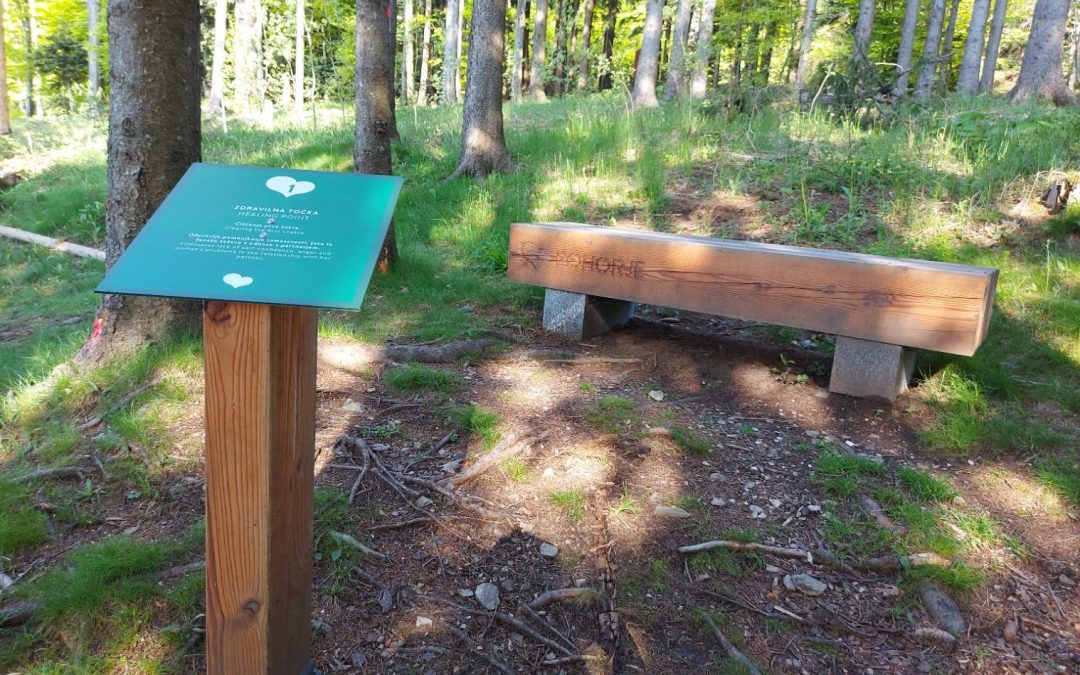
Hiking trail BOLFENK – Rozka’s Forest Learning Trail
Na poti se boste seznanili z bogastvom pohorskega gozda, njegovo rastjo, razvojem in pomenom. Pohorje je eno najbolj naravnih območij Slovenije in tudi Srednje Evrope. Kot edino silikatno gorovje v Sloveniji je pomembno v geomorfološkem, hidrološkem, biološkem ter kulturno krajinskem pogledu. Spoznajte zakonitosti gozda, njegov pomen ter vplive človeka na gozd skozi 17 točk, ki vas bodo vodile po poti.

Hiking path Bolfenk – Trikotna jasa
Walk down from Bolfenk to Trikotna jasa from which you have a wonderful view of the city of Maribor and the surrounding wine growing hills of northeast Slovenia.

Hiking trail Over Pohorje to Koroška (part of the oldest mountain trails in Slovenia – The Slovenian Mountain Trail)
The Slovenian Mountain Trail is the oldest and most diverse connecting mountain trail in Slovenia. The trail is 500 kilometres long and leads from Maribor all the way to the Slovenian coast in Ankaran.
Pohorje path timeline:
- Spodnja postaja Pohorske vzpenjače (328 m) – Sv. Bolfenk (1040 m) = 1,5 h (v kolikor ne uporabite gondole)
- Sv. Bolfenk (1040 m) – Mariborska koča (1068 m) = 1 h
- Mariborska koča (1068 m) – Ruška koča (1246 m) = 1 h
- Ruška koča (1246 m) – slap Šumik = 2 h
- Slap Šumik –Trije kralji (1181 m) = 2 h
- Trije kralji (1181 m) – Črno jezero (1197 m) – Osankarica (1193 m) = 1 h 15 min
- Osankarica (1193 m) – Koča na Pesku (1386 m) = 2,5 h
- Koča na Pesku (1386 m) – Lovrenška jezera (1529 m) – Ribniška koča (1507 m) = 3 h
- Ribniška koča (1507 m) – Grmovškov dom pod Veliko Kopo (1377 m) = 1,5 h
- Grmovškov dom pod Veliko Kopo (1377 m) – Partizanski dom (1443 m) = 1 h
- Partizanski dom (1443 m) – Koča pod Kremžarjevim vrhom (1102 m) = 1,5 h
- Koča pod Kremžarjevim vrhom (1102 m) – Slovenj Gradec (410 m) = 1,5 h
Hiking path Bolfenk – Mariborska koča – Areh
If you want an easy, undemanding 30-minute walk, after which you want to be rewarded, a visit to Mariborska Koča is the right choice. From the Pohorje Village Resort, head in the direction of Areh, where many signs and tables will direct you to Mariborska Koča. They offer Pohorje pisker, mushroom soup with buckwheat mash and other stews. You can sweeten it with cheese gibanica and apple strudel.

Guesthouse cottages and mountain lodges on Pohorje
- Koča Koča (Zg. postaja Pohorske vzpenjače)
- Mariborska koča (1068 m)
- Ruška koča (1246 m)
- Koča Cojzarica
- Hotel Jakec Trije Kralji
- Osankarica
- Koča na Pesku (1386 m)
- Ribniška koča (1507 m)
- Grmovškov dom pod Veliko Kopo (1377 m)
- Koča pod Kremžarjevim vrhom (1102 m)
- Klopni vrh.

FUN FACT: POHORJE CULINARY ROUTE
From June to September, you are invited to the embrace of Pohorje forests and a rich selection of authentic Pohorje dishes.
Take a look at the map of eastern Pohorje and the card of the Pohorje culinary route.
The map shows mountain and cycling routes, as well as the natural and cultural heritage of Pohorje. With the help of the map, hikers and cyclists can get to know the beauty of the eastern Pohorje.
With the Pohorje culinary route card, visitors can taste authentic Pohorje dishes in certain cottages and hotels. They receive a stamp with each tasting. With the last stamp in the card, visitors earn a free dessert from the vendor, where they will print their last stamp from wandering around this part of Pohorje.
You can pick up a map and card of the Pohorje culinary route from us as well as from other Pohorje providers, or at the Lower and Upper Stations of the Pohorska Vzpenjača ropeway, as well as at the Maribor Tourist Information Center.
Providers: Hotel Tisa, Penzion Jelka, Turizem Grašič-Gradišnik, Mariborska koča, Hotel Zarja, Ruška koča, Koča Cojzarica, Hotel Jakec Trije Kralji, Hotel Bellevue, Pohorje Village Wellbeing Resort – Restaurant Bolfenk.